Map
Map section allows you to visualize georeferenced data you have uploaded or been given access to. This includes following data type:
- raster maps
- orthomosaic
- DSM
- vector data
- archaeological objects with georeference.
Left side navigation panel helps you:
- navigate through folders or use search bar to find the data you need

- filter out data which is not viewable on Map by toggling on "Show only 2D"

- render the data on base map clicking the "eye" icon and adjust the transperancy


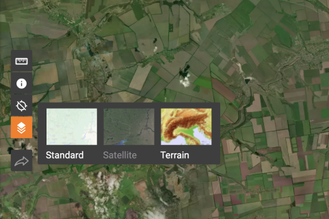
The following tools are also available on Map
- A ruler with which helps can measure distance and area

- Information about a point to get its coordinates

- Current location indicator to see where you are right now

- Map styles for diverse visualization of geospatial data